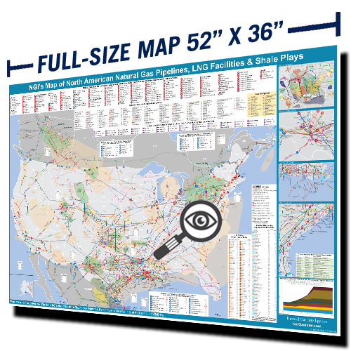
With fresh updates and new features, NGI’s Map of North American Natural Gas Pipelines, LNG Facilities, Shale Plays & Market Hubs is back and better than ever. The addition of individual pipeline capacity information, major storage fields, production data, and cross-border flows breathe life into the map and enables readers to better understand not only where North American natural gas is sourced, but also how it flows throughout the continent.
Featuring a streamlined background, NGI’s updated map allows you to visualize market points and highlight pipeline routes with ease. Navigate the natural gas industry by using our detailed insets to zoom into key areas including Louisiana, Texas, and the Permian, and identify key LNG terminals and import/export points along with their associated operational and proposed pipelines.