Regulatory | NGI All News Access | NGI The Weekly Gas Market Report
Zinke Recommends Shrinking Utah’s Bears Ears National Monument
Department of Interior (DOI) Secretary Ryan Zinke said he believes the Bears Ears National Monument in southeast Utah should be reduced in size.
On Monday, Zinke said he submitted a 45-day interim report on the monument in accordance with an executive order (EO) signed by President Trump in April, ordering DOI to review any designation of more than 100,000 acres made since Jan. 1, 1996. The review affects 27 national monument designations, including Bears Ears.
“I spent a lot of time on the ground in Utah, talking with people and understanding the natural and cultural significance of the area,” Zinke said. “There is no doubt that it is drop-dead gorgeous country and that it merits some degree of protection, but designating a monument that, including state land, encompasses almost 1.5 million acres where multiple-use management is hindered or prohibited is not the best use of the land and is not in accordance with the intention of the Antiquities Act [of 1906].”
Zinke added that his report to Trump included his “belief that the monument needs to be right-sized and that it is absolutely critical that an appropriate part be co-managed by the tribal nations. I also recommend that Congress take action to protect some areas.”
Zinke did not say how much Bears Ears should be reduced. The secretary told Reuters that more study of the issue is necessary, and that a final decision on the size of the monument wouldn’t be made until the review of all 27 monuments was completed.
The Trump administration argues previous administrations abused the Antiquities Act and sometimes made monument designations against the will of the local public. Twenty-two of the 27 national monuments up for review, including Bears Ears, are in the onshore, and all but one — Maine’s Katahdin Woods and Waters — are in the West. The remaining five are marine monuments in the offshore.
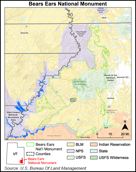
Bears Ears, located in San Juan County, UT, appears to be the most controversial designation within the scope of the EO. President Obama set aside 1.35 million acres for the monument last December, shortly before leaving office. The area has seen mostly conventional but also some unconventional oil and gas drilling. San Juan County also overlays the Paradox Basin, which includes the Cane Creek and Hovenweep shales.
Joel Webster, director of Western lands for the Theodore Roosevelt Conservation Partnership, said “we will be heading into uncharted territory” if Trump follows through with Zinke’s recommendation.
“No president of the modern era has ever attempted to significantly alter the boundaries of a national monument, and we believe executive branch actions to reverse or otherwise undermine a single monument would jeopardize the future of all monuments, including those that are important to the hunting and fishing community,” Webster said Monday. “Everyone who uses and cares about public lands should be concerned about the precedent that could be set in the coming days or weeks.”
© 2024 Natural Gas Intelligence. All rights reserved.
ISSN © 2577-9877 | ISSN © 1532-1266 | ISSN © 2158-8023 |